Finding a Place to Ride
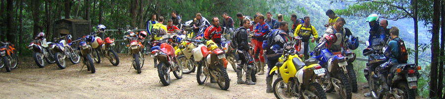
The most obvious places to ride are on public lands such as State Forests and National Parks. Approaching rangers from either organisation will give amazing results and often lead to discovering trails others know nothing about. Remember that the people who work in such jobs love the bush and outdoors just like you do, so it’s easy to get a friendly relationship going. Remember too that by respecting their rules and treating their land with care, you will be welcome to return over and over again. Click here for types of Parks and Reserves in NSW
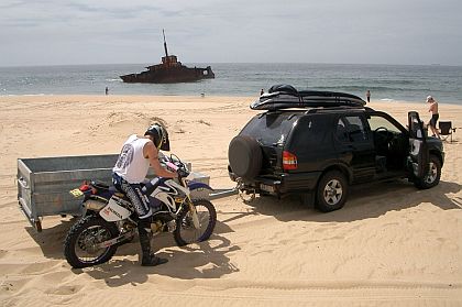
Back roads through remote areas will also offer plenty of opportunities for discovery, particularly in the Great Dividing Range and the outback, and stock routes can be brilliant if you do enough research to follow their paths. Some beaches are open to registered vehicles, usually with a token permit for day use. Stockton Beach is the most famous, but several North Coast beaches offer great riding and spectacular scenery.
How do you find all these places? You become a map junkie.
Red, Green and Gold
Maps are dirt riding gold. They can take you to new places, lead you out of the darkest predicament and broaden your horizons way past your normal stomping ground, and it’s all there for 10 bucks and a trip to your local map shop. The trick is to find the right map and unfortunately it doesn’t exist. Fair dinkum.
Topographical maps give the locations of tracks, contours, creeks and various natural features, but they can be unreliable. Many of the more remote areas haven’t been surveyed since 1968 so naturally things have changed. Checking the date that the map was surveyed on – it will be there somewhere – will give an idea of how old they are before you purchase them. Another hassle with topos is that they don’t show distances. It is possible to estimate distances using the map’s scale but this isn’t overly reliable, especially in steep terrain. Finally, topos can become very busy in hilly areas where contour lines make following the printed track difficult.
Are tourist maps the answer? Not really. They do show distances and often places of interest along the way. They are usually printed at a larger scale than topos, showing a wider area, which can be handy when covering a reasonable amount of ground. And most have been recently surveyed. What they don’t do is give a ‘feel’ for the land, due to their lack of contour lines and detail. That said, there are some excellent High Country maps available now and Hema and WestPrint have both done excellent work in the mountains and deserts.
Forests NSW put out excellent maps of their areas and these are probably the pick for dirt riders. They show open and closed tracks, locked gates, picnic areas, major roads and towns, and contain a lot of info on points of interest. These are clearly the go if you intend riding in a State Forest. Click here for Forests NSW's advice on using recreational vehicles in state forests.
The answer of course is to carry all types of relevant maps, cross-referencing between them to gain the most information. Scale? 1:250,000 for the desert and 1:100,000 for tight going with topos, and anything you can get in the tourist and Forestry line.
NSW Department of Lands are a source of printed and digital map data
Digital Maps
NatMap and Hema both have their maps in digital format which can be a cost-effective and useful planning tool. The NatMap version allows you to click between topo maps and satellite pictures which gives a very clear indication of the type of country shown, but for work on the ground you need a printed map. What about GPS? Yes, Magellan GPS mapping in particular is great and such a unit is very handy when working through a maze of trails, but a map is still the best way to get an over-view. When GPS screens can be made to fold out to laptop size when required you’ll be able to hang up the paper maps, but not before.

Choose a GPS wisely. There is choice aplenty but check out the mapping the unit runs, preferably by looking at the detail of the tracks in an area you know well. Look too for vibration resistance, waterproofing and the availability of practical bike mounts and power sources. Touratech make the best GPS bike mounts in the world; expensive but well worth it.
Internet tools such as Google Earth can also be useful but beware of one thing: just because a track exists doesn’t mean it is open to the public. Google Earth shows a wealth of connecting tracks but doesn’t show the locked gates and Keep Out signs along their paths. Topos will often show locked gates, and tourist maps steer clear of showing private roads so double check your route before going purely off satellite images.
Armed with a variety of maps and a GPS, you are now fully prepared to start discovering new country.